West Oʻahu
Project Overview
The City and County of Honolulu has several ongoing Complete Streets improvements in the works for the ʻEwa Beach, Kapolei, and Waiʻanae neighborhoods. These projects will contribute to create a network of streets that are safe and convenient for all people, whether they are traveling by foot, bicycle, transit, or ride-share, and regardless of age or ability.
The Opportunity
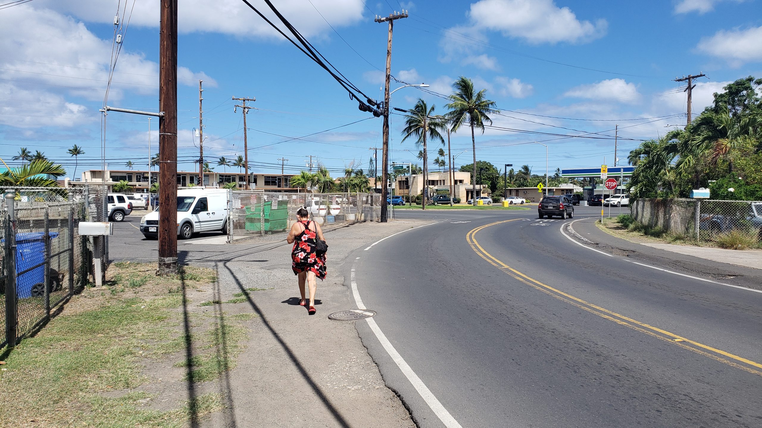
The West Oʻahu communities of ʻEwa Beach, Kapolei, and Waiʻanae are rapidly growing and are home to a number of businesses, community destinations, and home to Oʻahu’s second largest university, as well as two rail stations. However, there is a strong need for improved pedestrian, bicycle and transit facilities. The City is improving roadways in the ʻEwa Beach, Kapolei, and Waiʻanae neighborhoods with the aim of increased safety and mobility for all roadway users.
- Safe and convenient for people of all ages and abilities
- Accommodating to all modes, including foot, bicycle, transit, and automobile
- Integrated with the community’s vision and sense of place
- Supportive of community health and transportation equity
Upcoming Projects
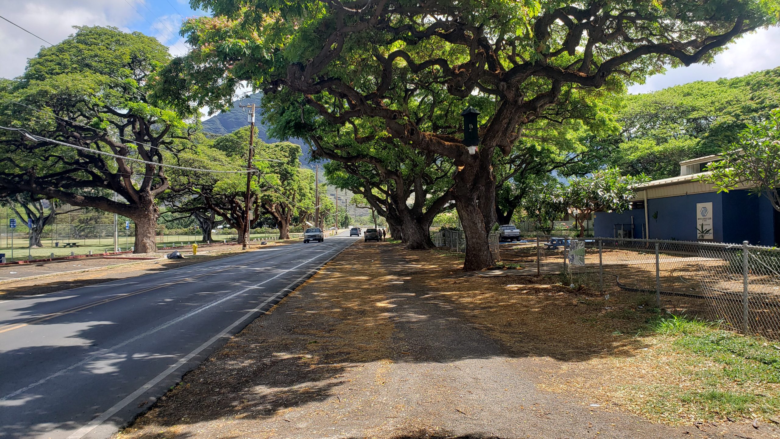
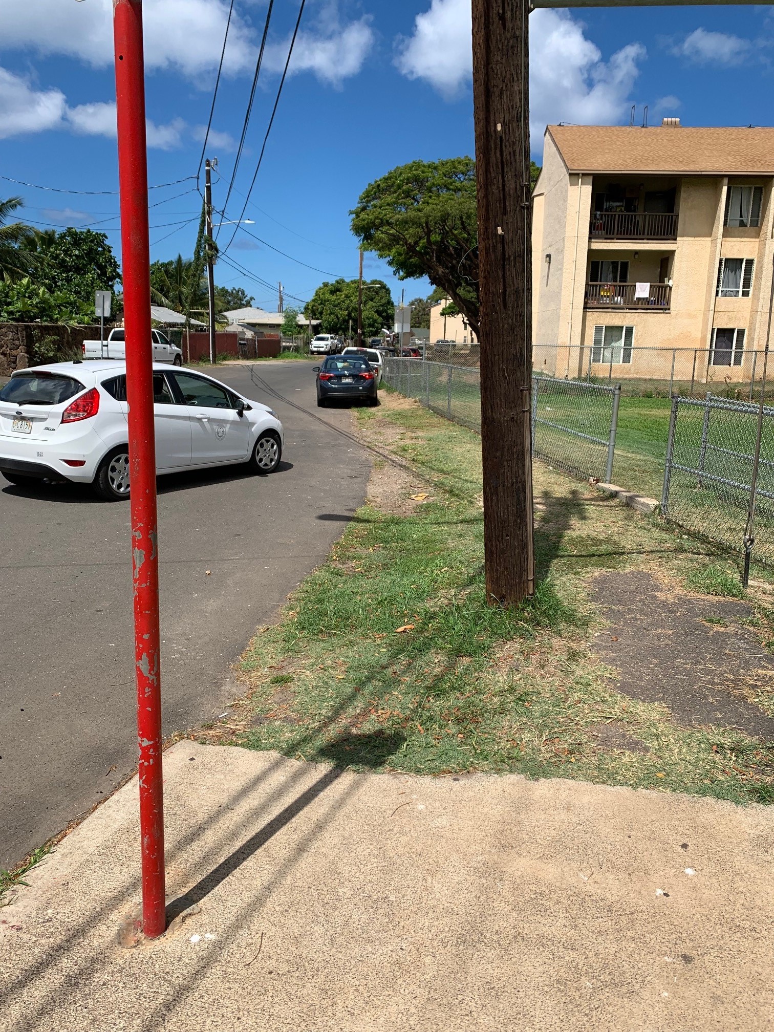
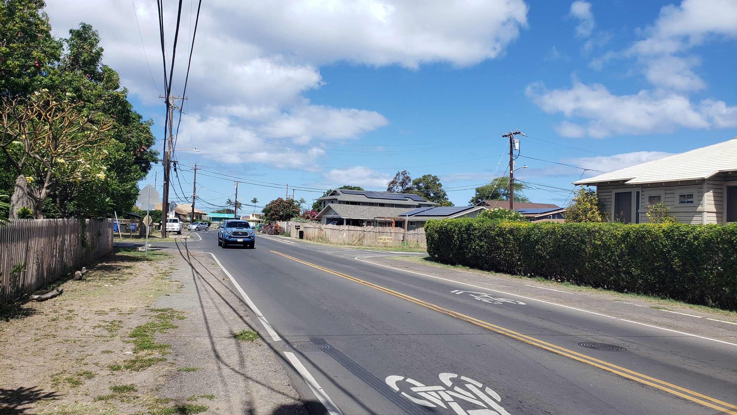
Waiʻanae
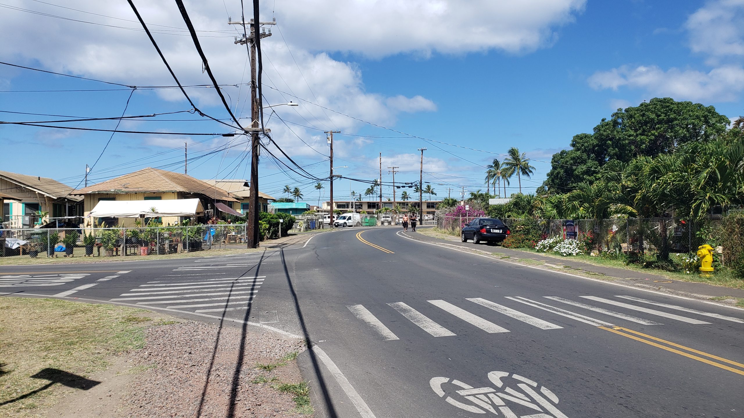
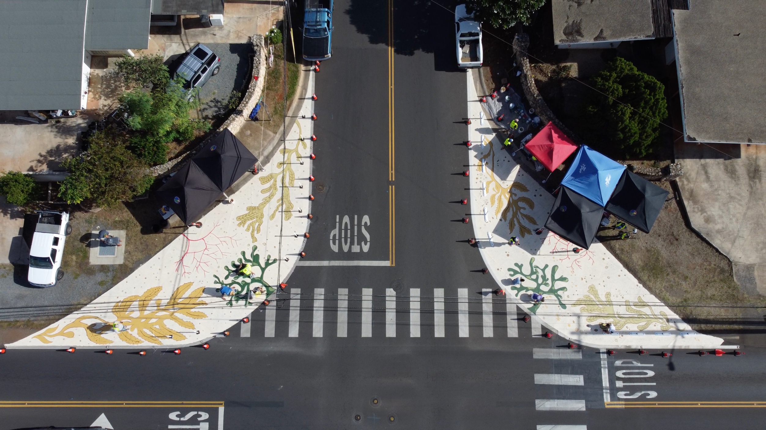
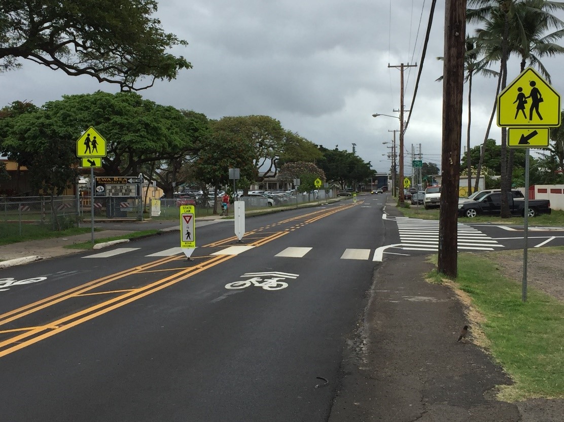
Central Waiʻanae
The City and County of Honolulu has roughly 900 miles of missing walkways along our local roadways, and building them is a complex and costly endeavor. The new Oʻahu Pedestrian Plan prioritizes our missing walkways based on an analysis that considers factors such as bus routes, proximity to schools, and crash history. Moving forward, pending the availability of funds, the City’s Complete Streets program will explore opportunities to construct walkways along these priority segments, either as stand-alone improvements or part of a periodic roadway and pavement rehabilitation projects.
- Plantation Road (Old Government Road to Hoʻopuhi Street)
- Mill Street (Plantation Road to Lualualei Homestead Road)
- Lualualei Homestead Road (Farrington Highway to Leihōkū Street)
- McArthur Street (Mill Street to Waiʻanae Valley Road)

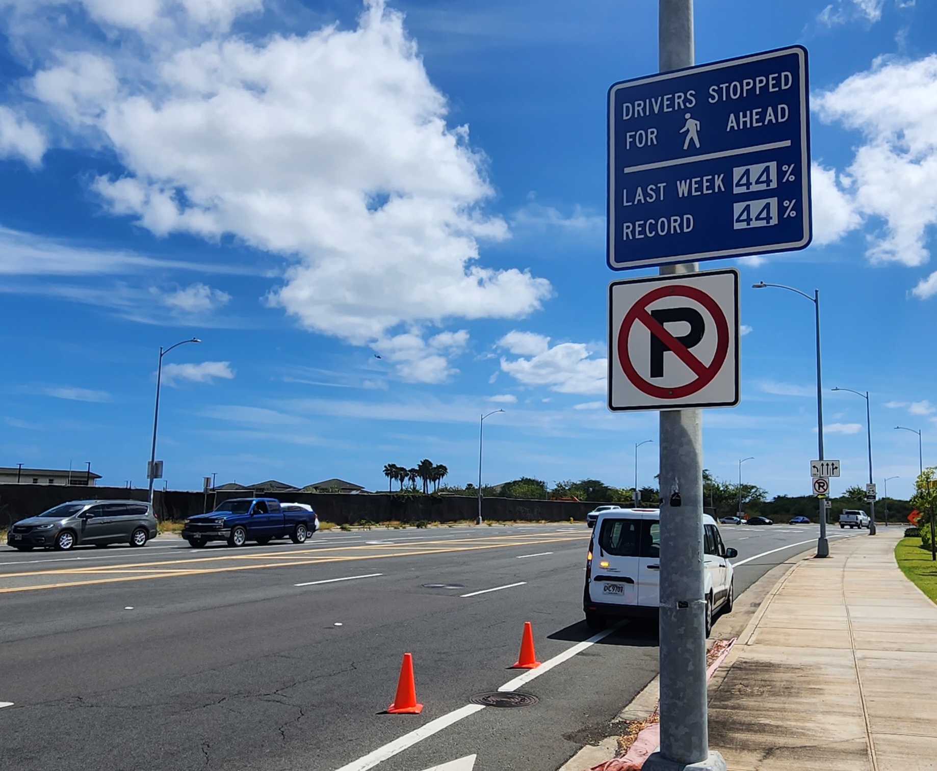
Nānākuli, Kapolei, ʻEwa, and Waipahu
South Shore Shared Use Path
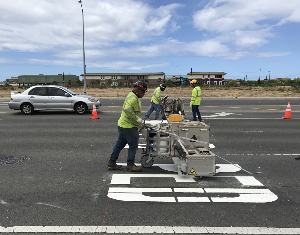
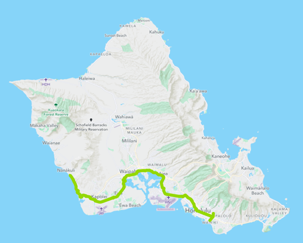
The Hawai‘i Department of Transportation (HDOT) in partnership with the City and County of Honolulu Department of Transportation Services (DTS) will improve the South Shore O‘ahu Shared Use Path. The net result of this project is a 32-mile bicycle and pedestrian path connecting communities between Nānākuli and Mānoa. While bicycle and pedestrian connectivity exists within each community in this corridor, this project aims to provide short-, medium-, and long-distance regional connectivity for active transportation users by linking the existing corridors to each other.