The Complete Streets Program collaborates and coordinates with various City agencies to deliver Complete Streets projects, including the Department of Transportation Services, Department of Planning and Permitting, Department of Facility Maintenance, Department of Design and Construction, and Department of Parks and Recreation. Each department manages different aspects of the roadway, and a number of plans and initiatives guide their efforts to develop Complete Streets from concept to construction.
Vision Zero Action Plan
In the decade from 2012 to 2021, an average of one person a week died in a traffic crash on Oʻahu. The City and County of Honolulu (City) is committed to ending traffic deaths on Oʻahu’s streets and is developing a Vision Zero Action Plan to provide a roadmap to ZERO traffic fatalities. The Vision Zero Action Plan will identify a host of actions to create a truly safe transportation system for Oʻahu.
Oʻahu Pedestrian Plan
The Oʻahu Pedestrian Plan is a long-term action plan to create vibrant, safe, and accessible streets to enable those of all ages and abilities to get around safely and comfortably by walking. The objective of the Plan is to define the City’s actions to make our street network more walkable, in support of healthy and livable communities.
Oʻahu Bike Plan
The Oʻahu Bike Plan guides the work of the City to support the growth of bicycling as a safe, accessible, and attractive transportation option. The Plan identifies specific projects, policies, and programs that aim to expand ridership and provide a network of safe, low-stress bikeways. The Plan was last updated in 2019.
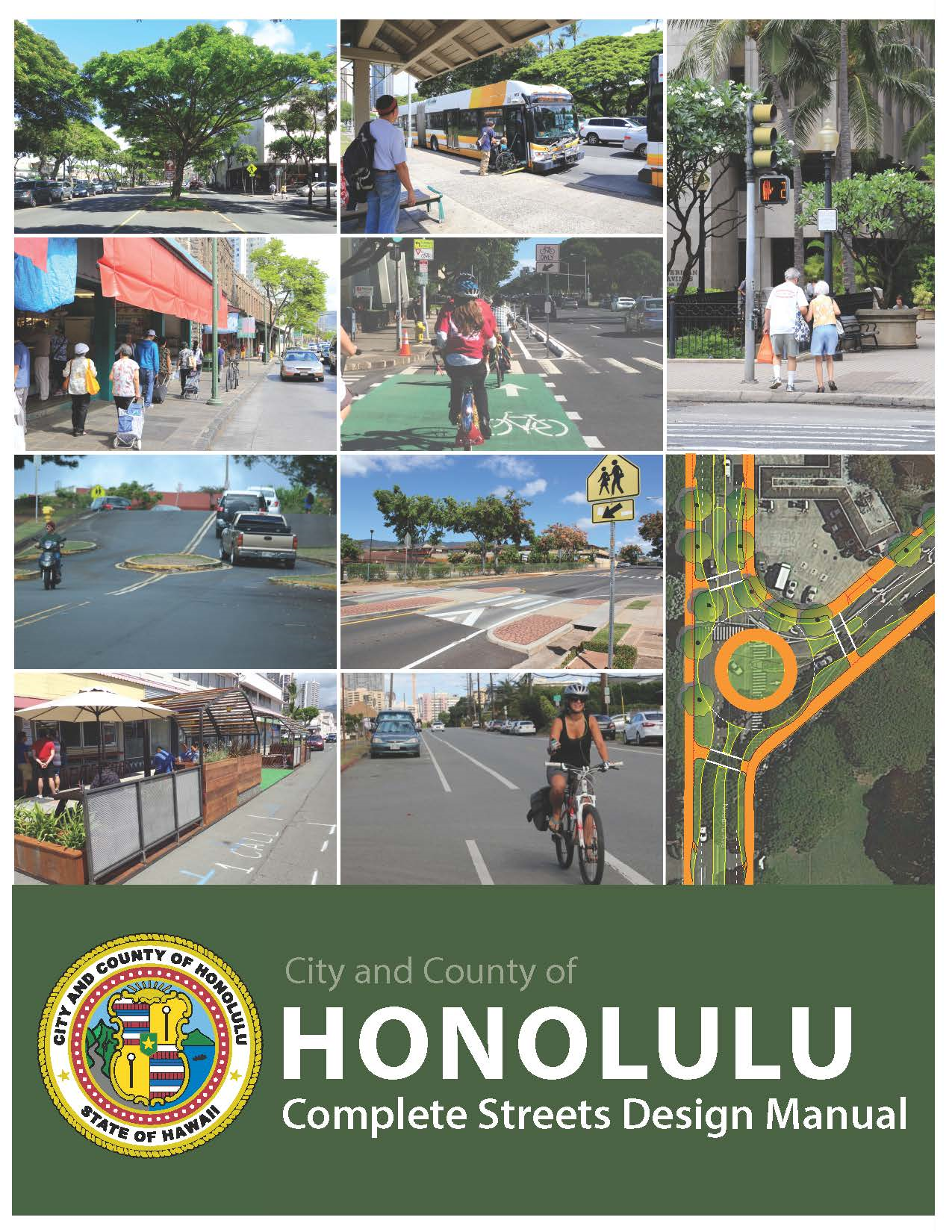
The design of Complete Streets differs from place to place depending on a variety of factors, such as road classification, surrounding land use, and current level of use. The Honolulu Complete Streets Design Manual sets forth design standards specific to Honolulu and provides guidance to planners, designers, and engineers to incorporate Complete Streets principles and road safety, and create sustainable communities.
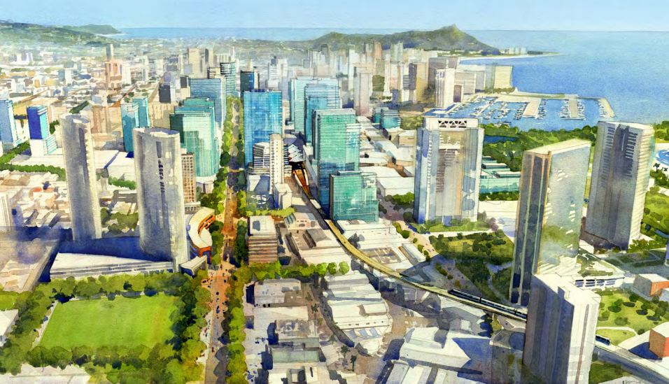
Honolulu is being transformed by the Honolulu Rail Transit Project. This is an unprecedented opportunity to reimagine Honolulu’ entire transit network: one that best serves the people of Honolulu – locals and visitors alike. This project charts the course to achieve this new and better bus and rail network through analysis and collaborative public engagement.
Right-of-Way Widths for Planned Street Improvements
Oʻahu’s many streets support different modes of transportation and comprise a large portion of the City’s land assets. As we grow and preferred transportation methods evolve over time, it is essential that future plans be updated to accommodate and promote smart, efficient travel. When space is limited, how do we determine what goes where? The updated Right-of-Way Widths for Planned Street Improvements defines priorities and guides the implementation of future improvements in alignment with Honolulu’s Complete Streets ordinance. It is a comprehensive assessment of current right-of-way widths, land use and introduces Street Types assignments based on the character, context, function, and long-term goals for all streets on Oʻahu, ensuring our streets can continue to sustainably accommodate and balance the needs of all users.
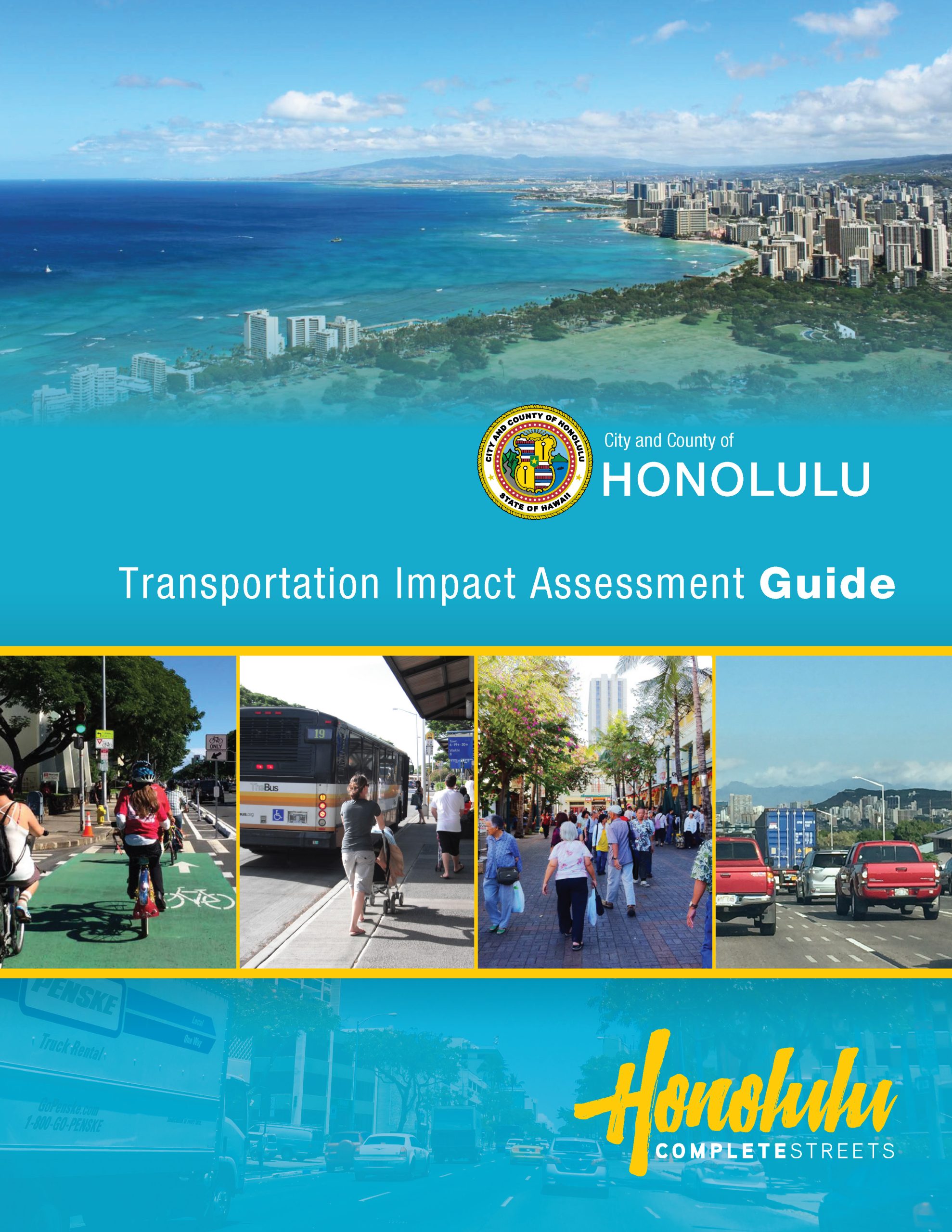
Traffic impact analyses have traditionally focused on assessing a proposed project’s impact on vehicular operations and the road network. The Transportation Impact Assessment (TIA) Guide provides new direction on the scope of study required by the City, when evaluating impacts: Adopting a holistic approach, the TIA Guide leads project sponsors (i.e., public agencies) and consultants through a multimodal impact assessment that considers impacts to all road users, including pedestrians, bicyclists, and transit riders in addition to motorists. It also forms the basis of the City’s evaluation of a project proposal and serves to advance the City’s efforts to construct a transportation system that allows safe, comfortable, and convenient travel for all.
Transportation Demand Management (TDM) is the application of strategies, policies, and programs to better manage transportation needs. It’s a cost-effective approach to improving transportation by maximizing mobility choices that meet and exceed traveler needs. In cooperation with the Oʻahu Metropolitan Planning Organization (Oʻahu MPO) and the United States Department of Transportation, The City and County of Honolulu is currently developing a TDM Plan to reduce vehicle miles traveled and to increase walking, bicycling, rideshare, and transit use. It will help achieve the City’s transportation, environmental, health, and equity goals.
The Department of Transportation Services’ Traffic Monitoring Program collects vehicular, bicycling, and pedestrian traffic data to assist in the prioritization of funding and development of future Complete Streets projects and improvements.
Neighborhood Transit-Oriented Development (TOD) Plans
Transit-Oriented Development (TOD) refers to compact, mixed-use development within a quarter to half mile (i.e., a five- to ten-minute walk) of a rail station. This form of urban development leverages convenient rail access to stimulate transit ridership, and creates more options for where we live and how we travel.
Complete Streets in each of the nine TOD neighborhoods surrounding Honolulu’s future rail system enhances multi-modal connectivity and facilitates easy access to transit.